

01Heritage
Sümela Monastery
Built into a steep rock face above Altındere Valley, the monastic complex is an extraordinary meeting of architecture and geography.
UNESCO Tentative List · Maçka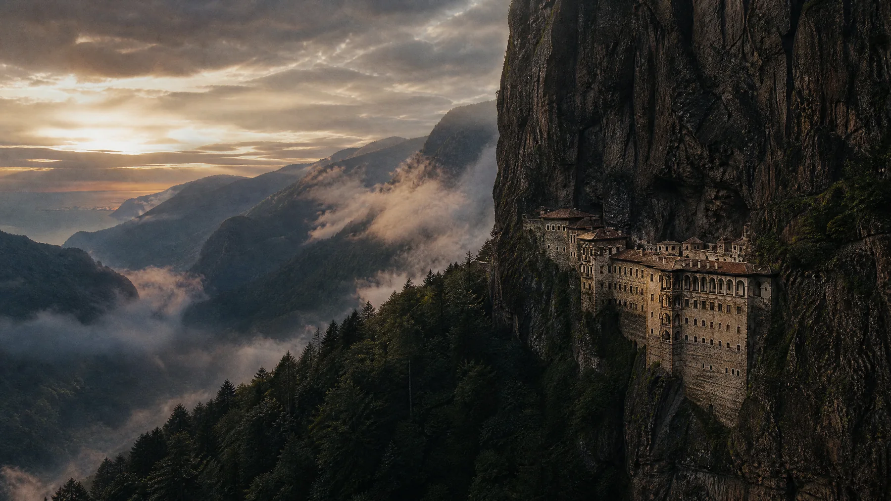
From coast to mountains
Silk Road memory, a monastery holding to the cliffs, historic quarters facing the sea and plateaus level with the clouds.
Sümela Monastery is on UNESCO’s World Heritage Tentative List.
TRABZON / 08 DURAK
This selection reads Trabzon’s history, nature and living culture together. Check official sources for current access conditions before setting out.
Built into a steep rock face above Altındere Valley, the monastic complex is an extraordinary meeting of architecture and geography.
UNESCO Tentative List · MaçkaA significant example of late Byzantine architecture, distinguished by stonework and a position looking over the Black Sea.
13th-century heritage · OrtahisarTrabzon’s living historic core, holding street texture, traces of fortifications and urban memory in close quarters.
Historic centreThe lake, forest and mountain landscape in Çaykara forms one of Trabzon’s strongest nature routes to the east.
Lake & ecotourism · ÇaykaraDense forest, water and high rock walls create the natural frame of the journey toward Sümela.
National park · MaçkaThe Düzköy cave opens an underground landscape of flowing water, small falls and visitor platforms.
Cave route · DüzköyNear Akçaabat, this lake ringed by green slopes offers an easy, quiet escape from the city.
Nature near the coast · AkçaabatMist, flowered meadows and seasonal highland life reveal the rhythm of Black Sea geography with unusual clarity.
High altitude · Changeable weatherRoute view
Tap the markers to understand where the major stops sit within Trabzon’s geography. The map is for approximate planning; verify current road and access conditions.